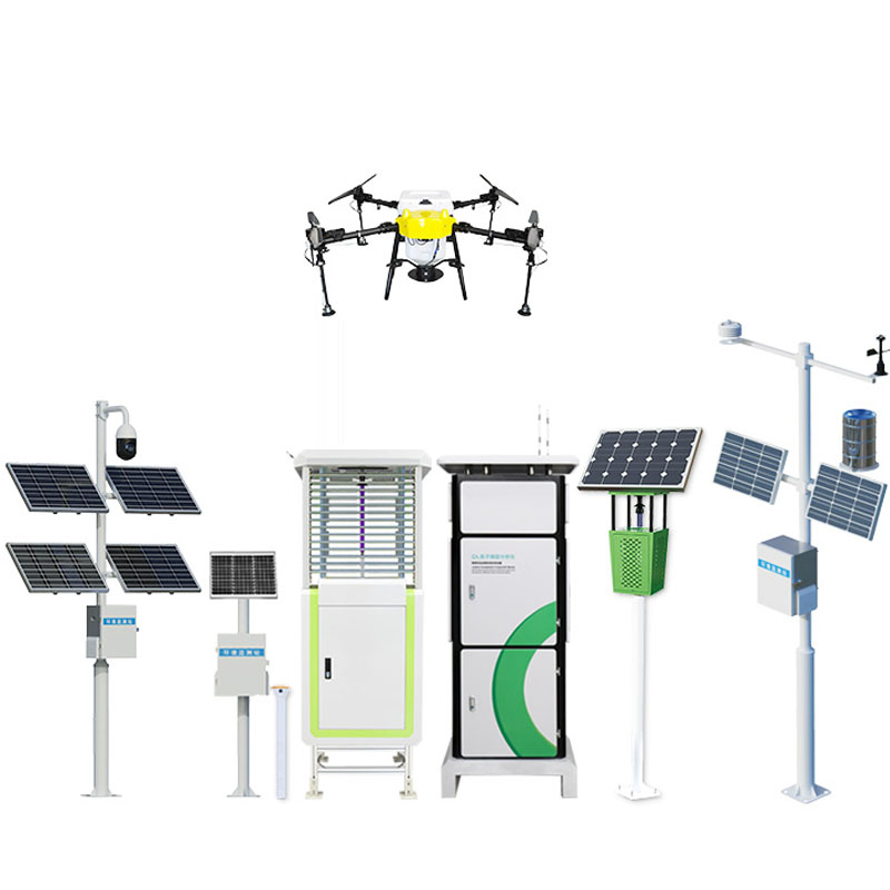
Rivers surge and flow ceaselessly. The flow rate of river channels is a core indicator reflecting changes in water resources, regulating water conservancy projects and preventing flood disasters. Traditional measurement methods rely on manual patrol measurement or contact equipment, which not only have low efficiency and large errors, but also are difficult to capture the instantaneous changes in flow. The emergence of the online monitoring system for river flow is like installing a "smart pulse meter" on rivers - through non-contact measurement technology, it can sense the flow velocity and water level of water bodies in real time, and combine intelligent algorithms to output precise flow data, transforming river management from "experience-based judgment" to "data-driven", providing scientific support for water resource protection and disaster prevention and control.
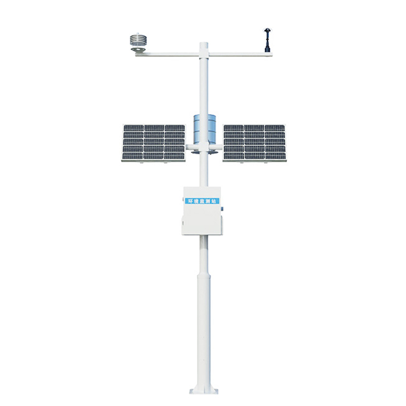
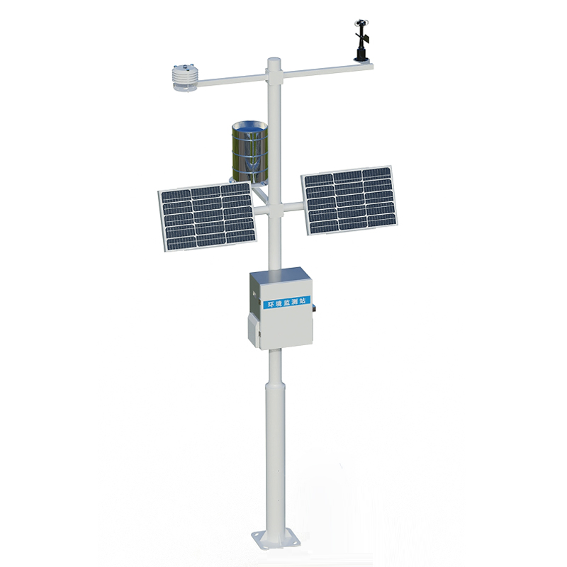
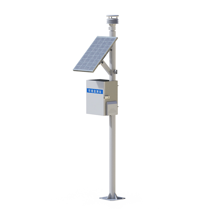
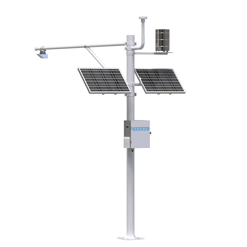
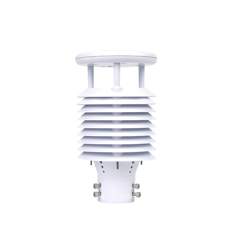
The core advantage of the WX-SW3 river flow online monitoring system lies in its "non-contact" measurement method. The traditional method requires the equipment to be immersed in water, which is prone to interference from sediment and floating objects, and may even be damaged by the impact of water flow. This system employs radar or ultrasonic technology to indirectly calculate the flow rate and water level of the water body by transmitting signals and receiving reflected waves. This "remote measurement" not only avoids direct contact between the equipment and water, reducing maintenance costs, but also enables stable operation in complex water environments - whether it is turbid muddy water or a river channel filled with floating debris, the system can accurately capture the flow dynamics, as if giving the river an "imperceptible physical examination".
The real-time nature of river flow determines that its management must be "one step ahead". The system synchronizes the real-time cross-sectional flow and cumulative flow data calculated to the management platform through wireless communication technology. Whether it is the dispatching center of the water conservancy department or the flood control office of the towns along the river, they only need to log in to the system to view the current flow change curve of the river. When the traffic exceeds the warning value, the system will automatically trigger a warning to prompt relevant departments to activate the emergency response plan. During the dry season, cumulative flow data can help precisely allocate water resources and prevent excessive water intake from causing the river to dry up. This "real-time + precise" output mode has transformed river management from "post-event remediation" to "pre-event prevention".

Article address:
http://www.sytrq.com.cn/en/newcen/1693.html


 Home
Home phone
phone Product Overview
 Contact Us